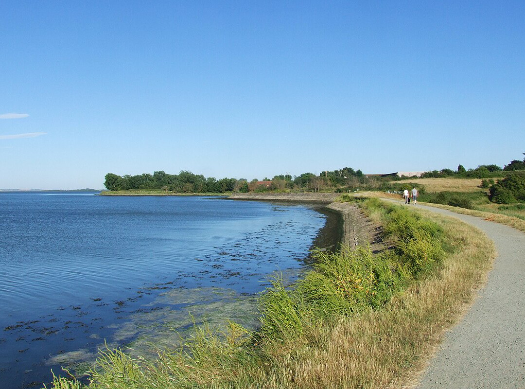
These routes consist of seven walks of varying lengths. Each section offers the walker something different – from the atmospheric marshland between Cliffe and High Halstow, the busy streets of Rochester and Chatham to the stunning estuary views along the riverside path from lower Gillingham.
- Cliffe to Cooling
- Estimated time: about 2 1/2 hours
- Distance: 6.3 miles (10.1km)
- Cooling to High Halstow (Fenn Corner)
- Estimated time: about 2 hours
- Distance: 3.6 miles (5.7km)
- High Halstow to Hoo
- Estimated time: about 2 hours / 1 1/2hrs*
- Distance: 4.2 miles (6.7km) / 3.3 miles (5.3km)*
- Hoo to Upnor
- Estimated time: about 1 hour both routes
- Distance: 2.21 miles (3.5km) / 1.85 miles (2.9km)*
- Upnor to Strood
- Estimated time: about 50mins
- Distance: 1.9 miles (3km)
- Rochester (via Chatham) to Gillingham
- Estimated time: about 2 hours
- Distance: 4.6 miles (7.4km)
Walking the Saxon Shore Way through Medway
Linked leaflet was designed and produced in 2008 by Medway Council’s Communications Team. Header image: Saxon Shore Way by the River Medway by Chris Whippet, CC BY-SA 2.0 https://creativecommons.org/licenses/by-sa/2.0, via Wikimedia Commons
.
